- Period
- geology; 20th century
- Distance
- 3 h by bus from the Rynek
The Tatras: what the ridge, lake and summits tell us
I look at the Polish Tatras through a few assumptions: where the border runs, what makes Morskie Oko remarkable, and what Giewont and Rysy mean to the range.
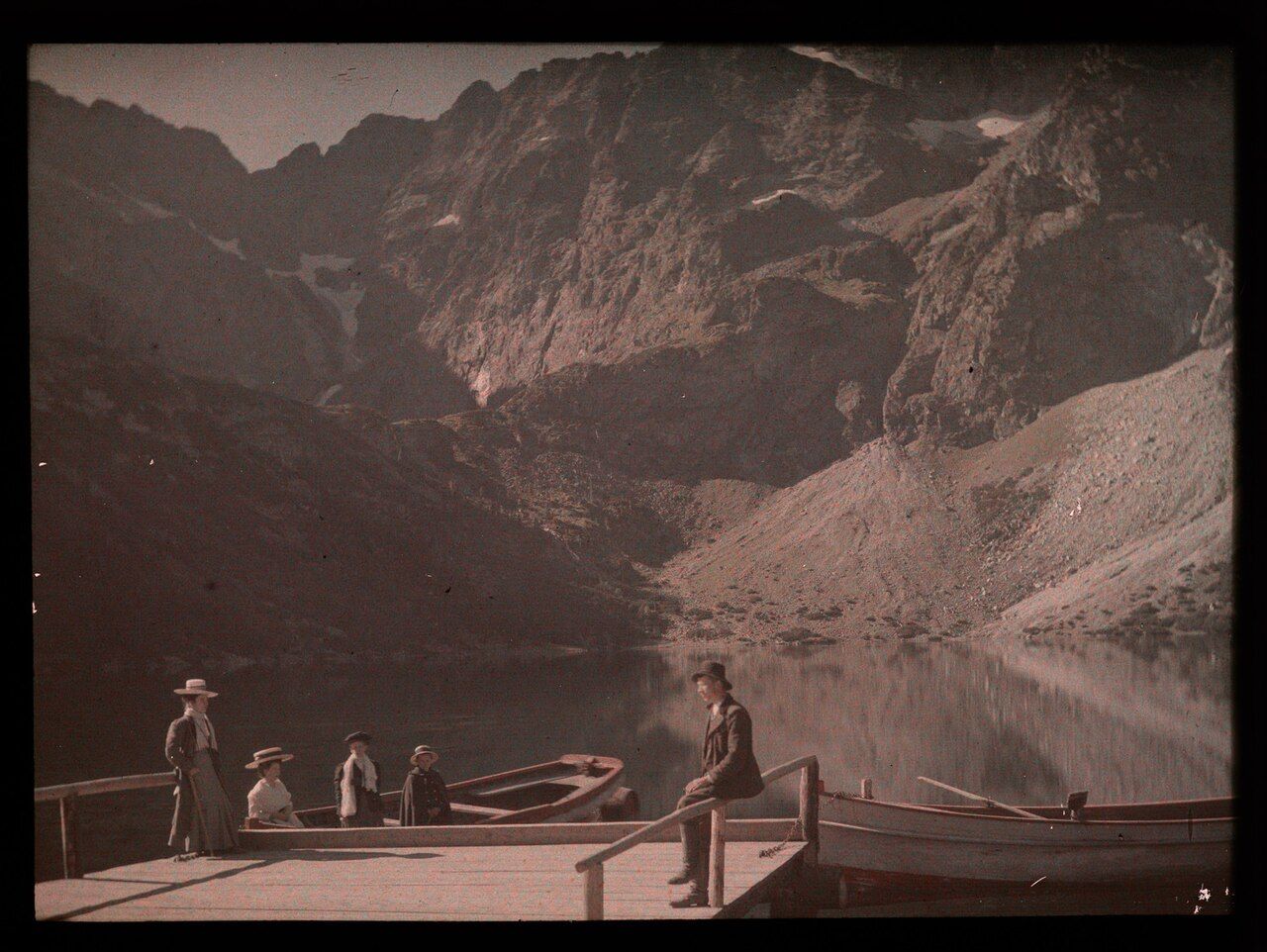
The Tatras rise south of Zakopane, their high ridges setting a different scale against the town. I find my attention moving from Giewont’s outline to the distant line of the main ridge, then back to the lake of Morskie Oko. These are not separate landmarks so much as different ways of reading the same range.
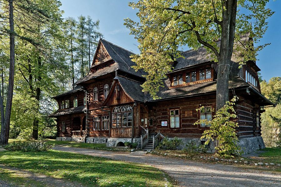
In Zakopane, the wooden villas of Zakopane belong to the town’s own story; the mountains remain their larger presence. I like how the Tatras hold more than one kind of memory: the measured height of a summit, the shape of a sleeping knight, the still name of a lake. Facts give the place its framework, but the framework does not make it feel smaller. If anything, it makes the distances and contrasts clearer.
Are the Tatras simply part of a longer mountain chain?
Myth: A range that belongs to the Carpathian Mountains might sound like one more stretch of high ground, with no particular distinction of its own.
Fact: The Tatras are the highest range of the Carpathian Mountains. The Polish High Tatras rise south of Zakopane, and the main ridge carries the boundary between Poland and Slovakia.
The border between Poland and Slovakia runs along the main ridge of the Tatras. That fact changes how I picture the range. A peak can be a Polish landmark and still belong to a mountain landscape shared across the border. The Tatras on both sides form a UNESCO biosphere reserve, designated in 1992. The ridge connects the view, rather than dividing it neatly into separate pieces.
The phrase “Poland’s only alpine mountains” is a useful way to orient the mind, but it is the actual shape of the range that stays with me. It has its own scale within the Carpathian Mountains, and the line of the border is part of its geography rather than an afterthought. The view keeps bringing those two ideas together: a distinct range, and a ridge that runs between countries.
The border between Poland and Slovakia runs along the main ridge of the Tatras.
Is Rysy the highest point in Poland?
Myth: The highest Polish summit might be easy to mistake for a peak that belongs to Poland alone.
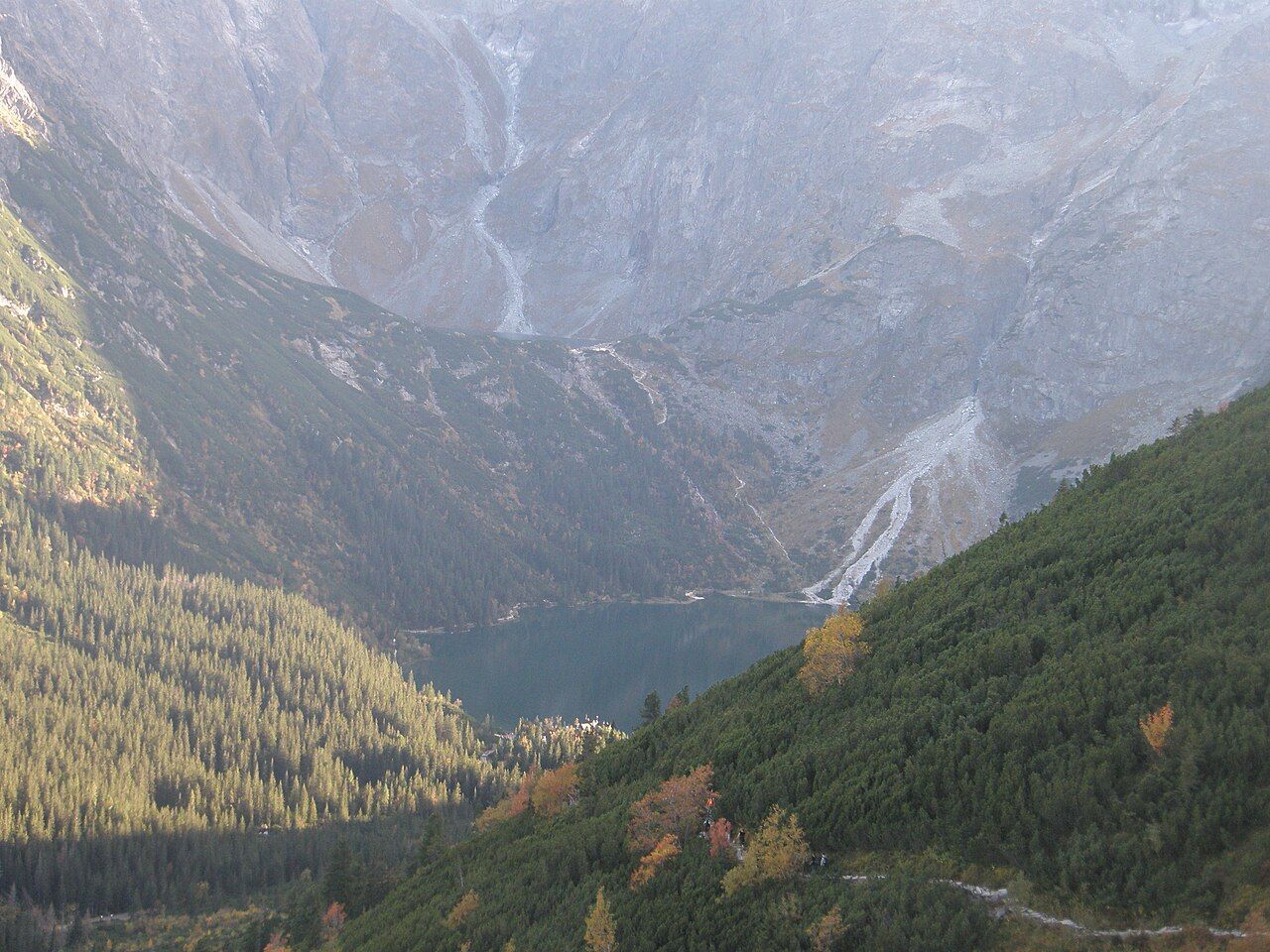
Fact: Rysy reaches 2,499 metres on its Polish summit, making it the highest point in Poland. The border follows the main ridge, so even this simple statement comes with a geographical detail worth keeping beside it.
Rysy’s height is exact; the feeling of height is harder to pin down. I find myself returning to the number because it gives a firm point of reference in a landscape where the ridge seems to keep extending beyond any one summit. The figure belongs to the Polish summit, not to an imagined boundary enclosing the whole range. That small distinction feels very Tatra: a clear fact, held within a wider landscape.
Is Morskie Oko only a lake at the end of a road?
Myth: A lake reached by road might sound like a simple endpoint, with little to say beyond the journey.
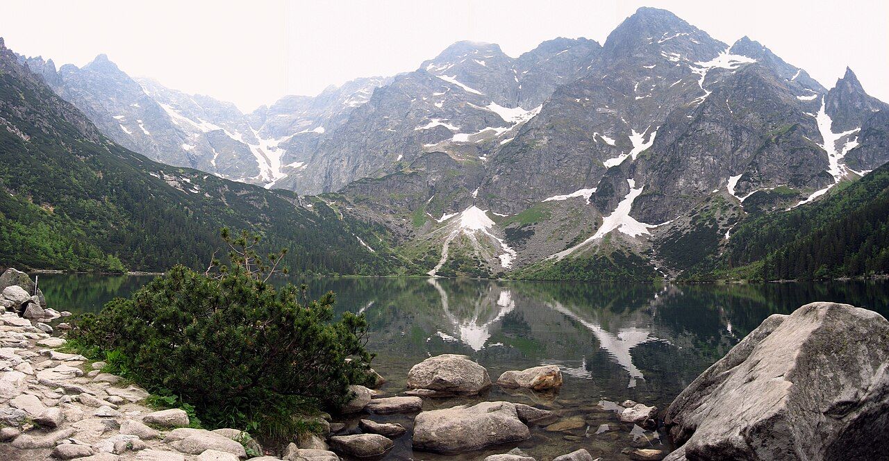
Fact: Morskie Oko is the largest lake in the Tatras. It lies at about 1,395 metres above sea level and covers about 35 hectares. A road about 9 kilometres long leads to it from Palenica Białczańska, and private cars are not allowed on that road.
The lake’s size gives it a presence quite different from the narrowness of a summit figure. I keep the height and area together in my mind: one places the water in the mountains, the other gives a sense of its breadth. Above Morskie Oko, Czarny Staw pod Rysami lies in a basin. Even the names make the landscape feel layered, lake above lake, with Rysy close in the wider arrangement.
What details are worth keeping together?
- Rysy: 2,499 metres on its Polish summit, the highest point in Poland.
- Morskie Oko: about 1,395 metres above sea level and about 35 hectares in area.
- The road to Morskie Oko: about 9 kilometres from Palenica Białczańska; closed to private cars.
The list is tidy, while the landscape is not. The figures are useful companions, not substitutes for the ridge and basin they describe.
Is Giewont only a shape above Zakopane?
Myth: Its outline might be taken for a silhouette and nothing more.
Fact: Giewont rises to 1,894 metres above Zakopane, and its outline is said to resemble a sleeping knight. A steel cross about 15 metres high was raised on its summit in 1901.
There is something affecting in the way the description of the sleeping knight sits beside the measured height and the cross. One belongs to the outline, another to the summit, and another to the story people give the mountain. I do not need to choose among them. Giewont can be a recognisable form above Zakopane and a peak with a particular history, all at once.
Are these mountains only about summits and views?
Myth: The tallest peaks and the lake might seem to contain the whole story.
Fact: Tatra National Park was created on the Polish side of the range in 1954. The Tatra chamois and the Tatra marmot are protected animals of the range. The protected landscape reaches beyond the famous names and measured heights.
I like ending with that wider frame in mind. Rysy, Giewont and Morskie Oko give the Tatras their familiar points of reference; the reserve, the park and the protected animals make the range more than a sequence of landmarks. The mountains remain connected across the ridge, and the memory of them does too.
More from Around Kraków and beyond
 Podhale and the TatrasZakopane and the style that grew from it
 Podhale and the TatrasOscypek: a smoked cheese shaped by the grazing season
 Salt undergroundDown into Wieliczka’s salt cathedral
 Salt undergroundBochnia: Kraków’s other salt mine
 Limestone valleysWhat does Ojców’s limestone gorge hold?
 Limestone valleysHow do Pieskowa Skała and Hercules’ Club belong together?
Photographs used: Piotrekwas — Creative Commons BY-SA 3.0; Аимаина хикари — CC0 1.0 Universal; Kanonkrajoznawczy — Creative Commons BY-SA 3.0; Adrian Tync — Creative Commons BY-SA 4.0; Dwxn — Creative Commons BY-SA 4.0; BogTar200917 — Creative Commons BY-SA 4.0